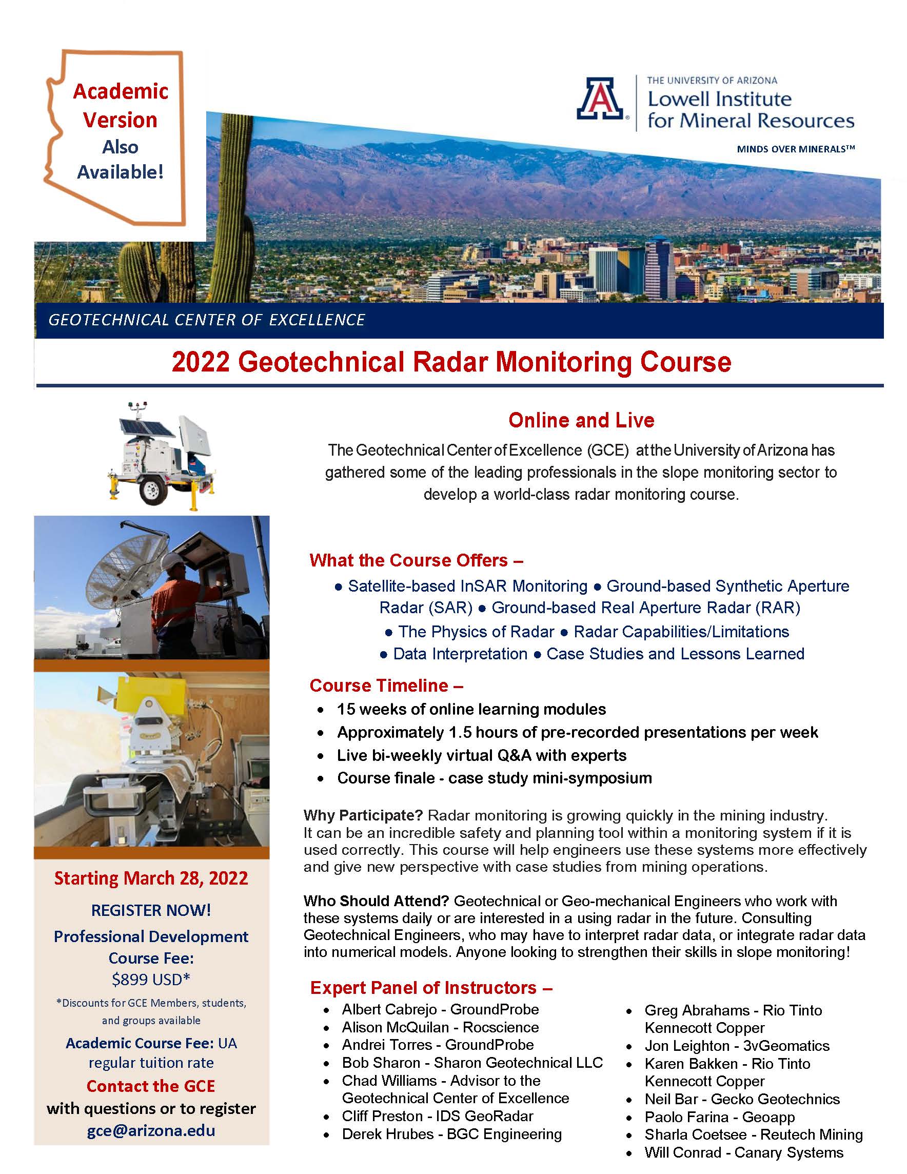
In 2021, the Large Open Pit Project supported a Professional Development Water Course offered by the Geotechnical Center of Excellence (GCE) at the University of Arizona. The feedback received from the course attendees has been overwhelmingly positive. The GCE has now gathered some of the leading professionals in the slope monitoring sector to develop a new world-class radar monitoring course. The course is aimed at Geotechnical and Geo-mechanical engineers who want to incorporate radar systems into their monitoring program. The course will provide insight into satellite-based InSAR Monitoring, Ground-based SAR and RAR systems, Radar physics, capabilities and limitations, and interpretation. Unique case studies will provide perspective on risk and pre- and post-failure analysis. See below for registration and more info.
Who Should Attend? Geotechnical or Geo-mechanical Engineers who work with these systems daily or are interested in using radar in the future. Consulting Geotechnical Engineers, who may have to interpret radar data, or integrate radar data into numerical models. Anyone looking to strengthen their skills in slope monitoring!
What the Course Offers? Radar monitoring is growing quickly in the mining industry. It can be an incredible safety and planning tool within a monitoring system if it is used correctly. This course will help engineers use these systems more effectively and give new perspective with case studies from mining operations.
Course Timeline: 15 weeks of online learning modules, approximately 1.5 hours of pre-recorded presentations per week, live bi-weekly virtual Q&A with experts, and a case study mini-symposium.

